
Country United States County Wayne Elevation 2,165 m Population 191 (2010) | Settled 1878 Time zone Mountain (MST) (UTC-7) Zip code 84773 Local time Monday 5:53 PM | |
 | ||
Weather 7°C, Wind W at 23 km/h, 60% Humidity | ||
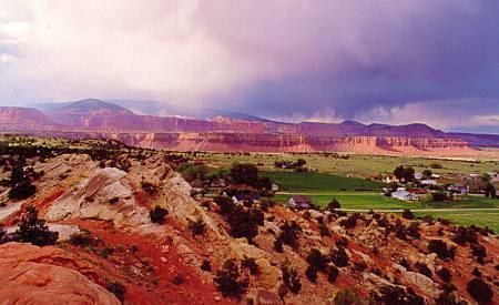
Teasdale is a census-designated place in western Wayne County, Utah, United States, between the Dixie and Fishlake National Forests. The population was 191 at the 2010 census. Teasdale lies along local roads south of State Route 24, southeast of the town of Loa, the county seat of Wayne County. Although it is unincorporated, Teasdale has a post office, with the ZIP code of 84773.
Contents
Map of Teasdale, UT 84773, USA
History
The community was named for George Teasdale, a member of the Quorum of the Twelve Apostles of The Church of Jesus Christ of Latter-day Saints (LDS Church).
Demographics
As of the census of 2010, there were 191 people residing in the CDP. There were 123 housing units. The racial makeup of the town was 95.3% White, 2.6% American Indian and Alaska Native, 1.0% Asian, 0.5% Native Hawaiian and Other Pacific Islander, and 0.5% from two or more races. Hispanic or Latino of any race were 1.6% of the population.
Climate
According to the Köppen Climate Classification system, Teasdale has a semi-arid climate, abbreviated "BSk" on climate maps.