
Country New Zealand City Upper Hutt | Island North Island Population 1,068 (2006) | |
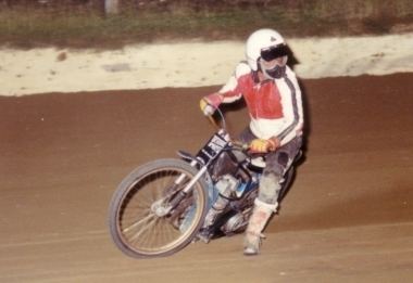 | ||
Te Marua is the northernmost urban suburb of Upper Hutt. The usual resident population in the 2006 census was 1,068. For reasons of location and distance from the city, the area is often classified as rural. Te Marua is well known for its Plateau Reserve where remnants of the old Rimutaka Railway path can be found, which now form part of a historic walk. Mt Climie, the highest peak of the Rimutaka Range, can also be reached from the Reserve. The suburb is also the location of the Wellington Speedway, a nationally important venue for stock car racing.
Map of Te Marua, Upper Hutt 5018, New Zealand
Te Marua is situated on State Highway 2, and is the last significant township (and shop) on the road before it reaches the head of the Hutt Valley and crosses the Rimutaka Range into the Wairarapa. Te Marua is situated in the original floodplain of the Hutt River and parts, particularly the Golf course, have been subject to flooding.
Just north of Te Marua is the Te Marua water treatment plant and the twin Stuart Macaskill Lakes. Water is taken from the Hutt River at Kaitoke, and either goes directly to the treatment plant or is stored in the lakes for future use. The water treatment plant supplies 40 percent of Wellington's water requirements, including all of Upper Hutt, Manor Park and Stokes Valley in Lower Hutt, all of Porirua, and the northern and western suburbs of Wellington City.
Te Marua residents are represented by the local community body, the Upper Hutt Rural Residents Association, and served by Maymorn railway station.