
Country Philippines Founded 1908 Time zone PST (UTC+8) Local time Tuesday 1:42 AM | District 4th District Barangays Area 93.62 km² Province Batangas | |
 | ||
Region Calabarzon (Region IV-A) Weather 26°C, Wind E at 13 km/h, 82% Humidity | ||
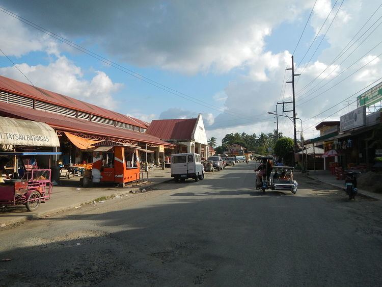
The sorry state of roads in taysan batangas
Taysan, officially the Municipality of Taysan (Filipino: Bayan ng Taysan), is a municipality in the province of Batangas in the Calabarzon (Region IV-A) of the Philippines. The population was 38,007 at the 2015 census. In the 2016 electoral roll, it had 23,278 registered voters.
Contents
- The sorry state of roads in taysan batangas
- Map of Taysan Batangas Philippines
- Geography
- Barangays
- Demographics
- References
Map of Taysan, Batangas, Philippines
Geography
Taysan is located at 13°47′N 121°12′E.
According to the Philippine Statistics Authority, the municipality has a land area of 93.62 square kilometres (36.15 sq mi) constituting 7000300000000000000♠3.00% of the 3,119.75-square-kilometre- (1,204.54 sq mi) total area of Batangas.
Taysan is bordered on the north by Rosario and Ibaan, east by a portion of Rosario, west by Batangas City, and south by Lobo.
Barangays
Taysan is politically subdivided into 20 barangays.
Demographics
In the 2015 census, Taysan had a population of 38,007. The population density was 410 inhabitants per square kilometre (1,100/sq mi).
In the 2016 electoral roll, it had 23,278 registered voters.