
Country United States County Saginaw FIPS code 26-79100 Elevation 187 m Local time Monday 1:32 PM | Time zone Eastern (EST) (UTC-5) GNIS feature ID 1627154 Population 4,624 (2000) | |
 | ||
Weather 11°C, Wind SW at 19 km/h, 82% Humidity Area 92.46 km² (92.2 km² Land / 26 ha Water) | ||
Taymouth Township is a civil township of Saginaw County in the U.S. state of Michigan. The population was 4,624 at the 2000 census.
Contents
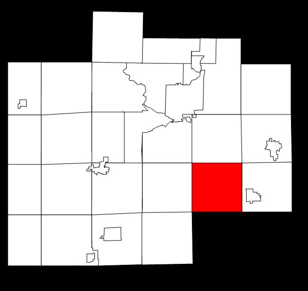
Map of Taymouth Township, MI, USA
Communities
Geography
According to the United States Census Bureau, the township has a total area of 35.7 square miles (92 km2), of which 35.6 square miles (92 km2) is land and 0.1 square miles (0.26 km2) (0.34%) is water.
Demographics
As of the census of 2000, there were 4,624 people, 1,583 households, and 1,296 families residing in the township. The population density was 130.0 per square mile (50.2/km²). There were 1,661 housing units at an average density of 46.7 per square mile (18.0/km²). The racial makeup of the township was 95.61% White, 0.65% African American, 0.67% Native American, 0.19% Asian, 0.13% Pacific Islander, 0.82% from other races, and 1.92% from two or more races. Hispanic or Latino of any race were 3.44% of the population.
There were 1,583 households out of which 39.7% had children under the age of 18 living with them, 67.8% were married couples living together, 9.2% had a female householder with no husband present, and 18.1% were non-families. 14.5% of all households were made up of individuals and 5.8% had someone living alone who was 65 years of age or older. The average household size was 2.90 and the average family size was 3.20.
In the township the population was spread out with 28.2% under the age of 18, 8.5% from 18 to 24, 30.5% from 25 to 44, 24.8% from 45 to 64, and 8.1% who were 65 years of age or older. The median age was 35 years. For every 100 females there were 102.4 males. For every 100 females age 18 and over, there were 99.6 males.
The median income for a household in the township was $46,581, and the median income for a family was $51,420. Males had a median income of $41,696 versus $22,458 for females. The per capita income for the township was $18,054. About 6.4% of families and 9.2% of the population were below the poverty line, including 13.7% of those under age 18 and 4.9% of those age 65 or over.