
Time zone CST (UTC-6) Elevation 184 m Local time Monday 12:28 PM | Established November 7, 1865 ZIP codes 62531, 62540, 62568 Area 111 km² Population 12,483 (2010) | |
 | ||
Weather 11°C, Wind N at 10 km/h, 99% Humidity | ||
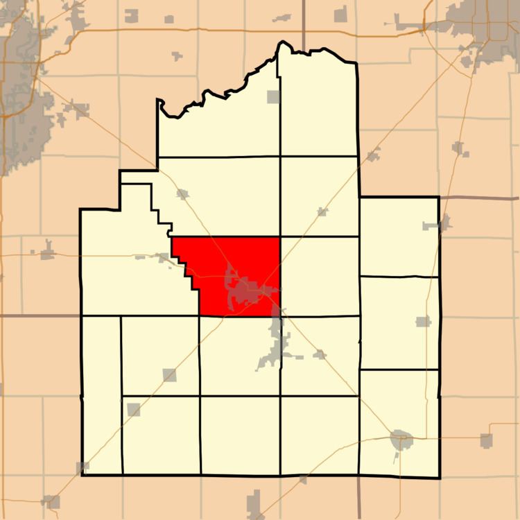
Taylorville Township is one of seventeen townships in Christian County, Illinois, USA. As of the 2010 census, its population was 12,483 and it contained 5,924 housing units.
Contents
- Map of Taylorville Township IL 62568 USA
- Geography
- Cities towns villages
- Unincorporated towns
- Cemeteries
- Major highways
- Airports and landing strips
- School districts
- Political districts
- References
Map of Taylorville Township, IL 62568, USA
Geography
According to the 2010 census, the township has a total area of 42.86 square miles (111.0 km2), of which 42.56 square miles (110.2 km2) (or 99.30%) is land and 0.3 square miles (0.78 km2) (or 0.70%) is water.
Cities, towns, villages
Unincorporated towns
Cemeteries
The township contains these four cemeteries: Glen Haven Memorial Gardens, Langley, Oak Hill and Young.
Major highways
Airports and landing strips
School districts
Political districts
References
Taylorville Township, Christian County, Illinois Wikipedia(Text) CC BY-SA