
Country United States Time zone Eastern (EST) (UTC-5) Elevation 180 m Local time Monday 1:29 PM | State Indiana GNIS feature ID 444608 Zip code 47885 Area code 812 | |
 | ||
Weather 16°C, Wind E at 18 km/h, 72% Humidity | ||
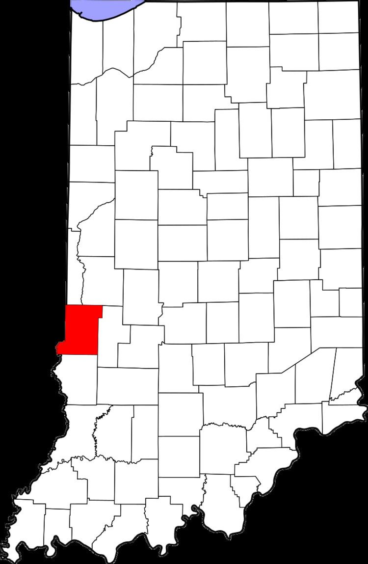
Taylorville, also known as Taylorsville or Dresser, is an unincorporated community in eastern Sugar Creek Township, Vigo County, in the U.S. state of Indiana. It is part of the Terre Haute metropolitan area. Though the United States Board on Geographic Names has officially designated the area as Taylorville, the 2010 United States Census considered the area a census designated place called Dresser.
Contents
Map of Taylorville, Sugar Creek Township, IN 47885, USA
History
A post office was established under the name Dresser in 1932, and remained in operation until it was discontinued in 1935.
Geography
Taylorville is located at 39°27′45″N 87°25′25″W at an elevation of 591 feet. Located very near the Wabash River, the town is nestled between Terre Haute and West Terre Haute.
References
Taylorville, Indiana Wikipedia(Text) CC BY-SA