
Country United States Area code(s) 715 & 534 Area 189 ha Population 475 (2013) | Time zone Central (CST) (UTC-6) FIPS code 55-79150 Elevation 272 m Local time Monday 12:12 PM | |
 | ||
Weather 6°C, Wind NW at 5 km/h, 85% Humidity | ||
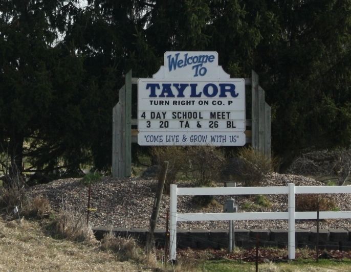
Taylor is a village in Jackson County, Wisconsin, United States, along the Trempealeau River. The population was 476 at the 2010 census.
Contents
Map of Taylor, WI 54659, USA
Geography
Taylor is located at 44°19′19″N 91°7′17″W (44.322018, -91.121381).
According to the United States Census Bureau, the village has a total area of 0.73 square miles (1.89 km2), all of it land.
2010 census
As of the census of 2010, there were 476 people, 212 households, and 120 families residing in the village. The population density was 652.1 inhabitants per square mile (251.8/km2). There were 226 housing units at an average density of 309.6 per square mile (119.5/km2). The racial makeup of the village was 98.3% White, 0.6% African American, 0.6% Native American, 0.2% Asian, and 0.2% from two or more races. Hispanic or Latino of any race were 3.4% of the population.
There were 212 households of which 30.2% had children under the age of 18 living with them, 36.8% were married couples living together, 12.7% had a female householder with no husband present, 7.1% had a male householder with no wife present, and 43.4% were non-families. 34.4% of all households were made up of individuals and 14.2% had someone living alone who was 65 years of age or older. The average household size was 2.25 and the average family size was 2.83.
The median age in the village was 37.8 years. 23.1% of residents were under the age of 18; 10% were between the ages of 18 and 24; 26.1% were from 25 to 44; 26.5% were from 45 to 64; and 14.3% were 65 years of age or older. The gender makeup of the village was 48.9% male and 51.1% female.
2000 census
As of the census of 2000, there were 513 people, 209 households, and 137 families residing in the village. The population density was 706.6 people per square mile (271.3/km²). There were 237 housing units at an average density of 326.4 per square mile (125.4/km²). The racial makeup of the village was 97.27% White, 1.95% Native American, 0.58% Asian, and 0.19% from two or more races.
There were 209 households out of which 33.5% had children under the age of 18 living with them, 45.5% were married couples living together, 13.9% had a female householder with no husband present, and 34.0% were non-families. 29.7% of all households were made up of individuals and 13.9% had someone living alone who was 65 years of age or older. The average household size was 2.45 and the average family size was 2.91.
In the village, the population was spread out with 29.8% under the age of 18, 9.0% from 18 to 24, 25.3% from 25 to 44, 21.8% from 45 to 64, and 14.0% who were 65 years of age or older. The median age was 36 years. For every 100 females there were 101.2 males. For every 100 females age 18 and over, there were 98.9 males.
The median income for a household in the village was $25,833, and the median income for a family was $28,958. Males had a median income of $23,250 versus $17,961 for females. The per capita income for the village was $11,091. About 20.5% of families and 20.5% of the population were below the poverty line, including 18.7% of those under age 18 and 29.5% of those age 65 or over.