Country Turkey Time zone EET (UTC+2) Licence plate 22 Area code 0284 | Elevation 60 m (195 ft) Postal code 22130 Population 1,574 (2013) Province Edirne Province | |
 | ||
District Edirne central district | ||
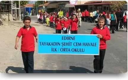
Tayakadın is a village in central district (Edirne) of Edirne Province, Turkey. At 41°36′N 26°40′E it is situated 13 kilometres (8.1 mi) south east of Edirne. The population of Tayakadın was 1574 as of 2013. The village was founded in the 20th century in place of a former stud farm. The name of the village refers to a woman; either the owner of the former farm (an Italian woman) or the wet nurse of Ottoman sultan Mehmet II. Main crops of the village are cereal, sun flower canola and rice. The village also hosts a small industrial area.
Map of Tayakad%C4%B1n, 22130 Tayakad%C4%B1n K%C3%B6y%C3%BC%2FEdirne Merkez%2FEdirne, Turkey
References
Tayakadın Wikipedia(Text) CC BY-SA
