
Population 588 (2011 census) LGA(s) Alpine Shire Mean max temp Mean min temp Postal code 3697 | Postcode(s) 3697 State electorate(s) Benambra Elevation 330 m Federal division Division of Indi | |
 | ||
Location 350 km (217 mi) north east of Melbourne
76 km (47 mi) south of Wodonga
103 km (64 mi) east of Wangaratta
56 km (35 mi) east of Myrtleford
12 km (7 mi) north of Mount Beauty Weather 14°C, Wind SW at 8 km/h, 87% Humidity | ||
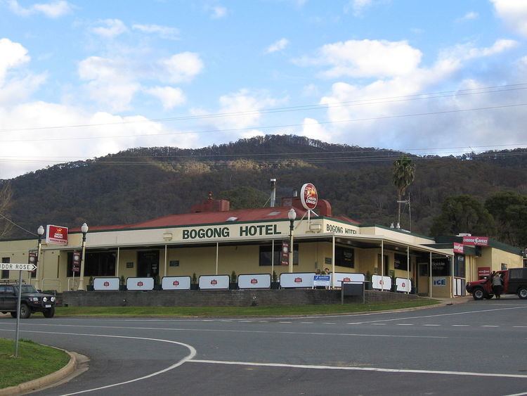
Tawonga is a town in northeast Victoria, Australia. The town is on the Kiewa Valley Highway, in the Alpine Shire local government area, 350 kilometres northeast of the state capital, Melbourne. At the 2011 census, Tawonga had a population of 588.
Tawonga Post Office opened on 4 October 1879.
References
Tawonga, Victoria Wikipedia(Text) CC BY-SA