
Time zone WAT (UTC+1) Local time Monday 1:05 PM | Area 653 km² | |
 | ||
Weather 34°C, Wind NE at 13 km/h, 11% Humidity | ||
Taura is a Local Government Area of Jigawa State, Nigeria. Its headquarters are in the town of Taura.
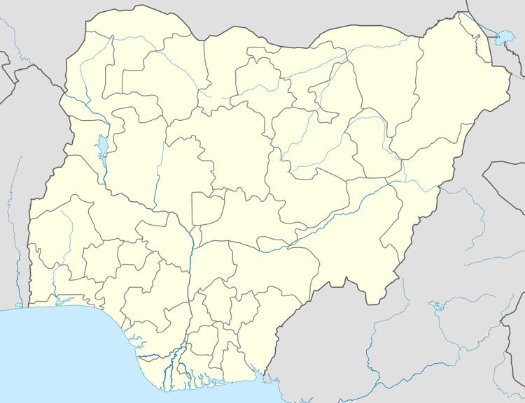
Map of Taura, Nigeria
It has an area of 653 km² (252 sq mi) and a population of 131,757 at the 2006 census.
The postal code of the area is 733.
References
Taura, Jigawa Wikipedia(Text) CC BY-SA