
OS grid reference SP820468 Sovereign state United Kingdom Local time Monday 10:10 AM | Unitary authority Postcode district MK19 Dialling code 01908 Post town Borough of Milton Keynes | |
 | ||
Weather 6°C, Wind NE at 13 km/h, 96% Humidity | ||
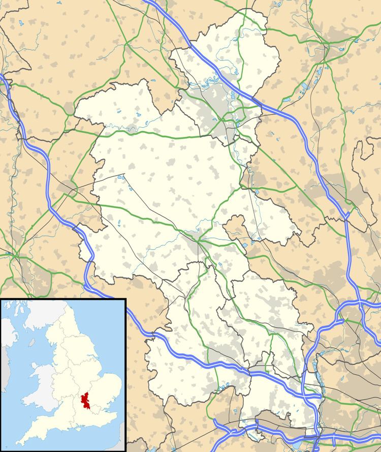
Tathall End is a hamlet in the civil parish of Hanslope (where the 2011 Census population was included), Buckinghamshire. It is 1 mile from Hanslope village, and 3 miles from Castlethorpe. The River Tove flows through it. Several properties date back to the 17th Century, including Tathall End Farmhouse, dated at 1640.
Map of Tathall End, Milton Keynes, UK
References
Tathall End Wikipedia(Text) CC BY-SA