
OS grid reference NG299391 Area 28 ha | Highest elevation 56 m Island group Inner Hebrides Lieutenancy area Highland | |
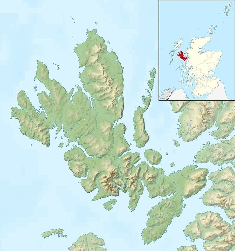 | ||
Tarner Island is a triangular shaped island in Loch Bracadale just off the coast off the Harlosh peninsula of Skye in Scotland. It is about 28 hectares (69 acres) in extent.
Map of Tarner Island, United Kingdom
The coastline is largely cliff-lined and rocky and there is a natural arch to the north. Tarner Island is only about 1 kilometre (0.62 mi) from mainland Skye and there are several skerries including Sgeir Mhòr and Sgeir Bheag that lies just offshore to the north east between the island and Colbost Head. Wiay and the tidal islet of Oronsay lie about 2 kilometres (1.2 mi) to the south.
References
Tarner Island Wikipedia(Text) CC BY-SA