
Peak Mount Grindușu Length 65 km (40 mi) Area 1,810 km² | Elevation 1,664 m (5,459 ft) Width 40 km (25 mi) State/Province Moldavia | |
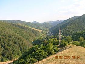 | ||
The Tarcău Mountains are a mountain range, part of the Moldavian-Muntenian Carpathians of the Outer Eastern Carpathians.
Map of Muntii Tarcaului, Romania
The range is located between the latitudes 46025 and 46057 N and between the longitudes 25052 and 26028 E. The range is bordered by the following rivers:
To the East they are limited by the subcarpathian hills along a line running approximatively from Piatra Neamţ to Moinești. The highest point is Tar-havas at 1663 meters.
References
Tarcău Mountains Wikipedia(Text) CC BY-SA