
Ward 3 Area 240 ha | Quadrant NE Established 1984 Population 9,959 (2006) | |
 | ||
Weather 9°C, Wind S at 16 km/h, 21% Humidity Restaurants Fritou, Infinity Pizza, Bikaner Sweets, Aadi Chakra, Punjabi Sweet House | ||
Taradale is a residential neighbourhood in the north-east quadrant of Calgary, Alberta, Canada. It is located at the eastern edge of the city, and it is bounded to the north by Taradale Drive, to the east by 68 Street E, to the south by 64 Avenue N and to the west by Falconridge Boulevard.
Contents
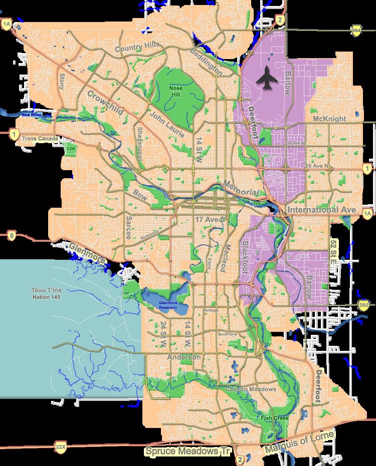
Map of Taradale, Calgary, AB, Canada
The land was annexed to the City of Calgary in 1961, and Taradale was established in 1984. It is represented in the Calgary City Council by the Ward 3 councillor.
Demographics
In the City of Calgary's 2012 municipal census, Taradale had a population of 7004168410000000000♠16,841 living in 7003455900000000000♠4,559 dwellings, a 4.5% increase from its 2011 population of 7004161100000000000♠16,110. With a land area of 2.9 km2 (1.1 sq mi), it had a population density of 5,810/km2 (15,040/sq mi) in 2012.
Residents in this community had a median household income of $58,309 in 2000, and there were 13.4% low income residents living in the neighbourhood. As of 2000, 27.8% of the residents were immigrants. All buildings were single-family detached homes, and 10.4% of the housing was used for renting.
Education
Public schools in include Taradale Elementary School and Ted Harrison Middle School.