
Country United States County Bladen FIPS code 37-66740 Elevation 38 m Zip code 28392 Local time Sunday 5:18 PM | State North Carolina Time zone Eastern (EST) (UTC-5) GNIS feature ID 0995863 Area 40 ha Population 146 (2013) Area code 910 | |
 | ||
Weather 26°C, Wind S at 14 km/h, 39% Humidity | ||
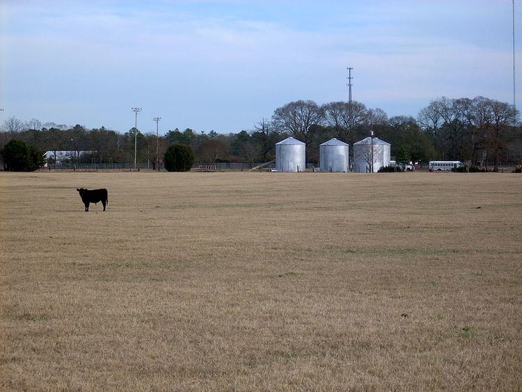
Tar Heel is a town located in Bladen County, North Carolina, in the United States. As of the 2010 census, the town population was 117.
Contents
- Map of Tar Heel NC 28392 USA
- Geography
- History
- Government
- Services
- Education
- Churches
- Demographics
- References
Map of Tar Heel, NC 28392, USA
Tar Heel is home to the largest pork processing plant in the world which opened in 1992, operated by Smithfield Foods and is located just north of the town limits.
Geography
Tar Heel is located at 34°43′56″N 78°47′32″W (34.732353, -78.792284), on the banks of the Cape Fear River. Its major highways are NC 87 and NC 131. Fayetteville is 25 miles (40 km) to the north, Elizabethtown is 15 miles (24 km) to the southeast, and Lumberton is 16 miles (26 km) to the southwest.
According to the United States Census Bureau, the town has a total area of 0.15 square miles (0.4 km2), all of it land.
History
This farming community has a history dating back to the Revolutionary War. Colonel Thomas Robeson, for whom Robeson County was named, lived in the Tar Heel community. His home is located just to the east of the town. It is listed in the National Register of Historic Places as Walnut Grove.
The town of Mayville, no longer in existence, was on the Robeson and Bladen County line and was the village mentioned in the diary of Elizabeth Ellis Robeson (1847–1866). Just when the village moved to what is now Tar Heel is unknown. During the Civil War, Colonel Thomas Purdie and Captain Daniel Munn, residents of the Tar Heel area, led troops at Gettysburg and Fort Fisher.
The Town of Tar Heel was incorporated by the State of North Carolina in 1964.
The origin of the town name is different from the nickname given to the state of North Carolina. The town was known for its landing on the Cape Fear River. The state operated a ferry at this landing, and it was a major loading point for vessels that transported agricultural goods to the market in Wilmington. The major product was barrels of turpentine. Tar Heel had several turpentine stills, and the remains of some of the old stills can be found in the area. The results of transporting the barrels of turpentine, leaking barrels, caused a tar-like material to be found around the landing and the access to the river. When the community people talked of going to the village, it was said they were going to get tar on their heels, thus the name Tar Heel.
The town of Tar Heel is often confused with Chapel Hill's "Tar Heel Town", home of the University of North Carolina at Chapel Hill Tar Heels.
The Purdie House and Purdie Methodist Church and Walnut Grove are listed on the National Register of Historic Places.
Government
The town of Tar Heel is governed by a mayor/council governing body. The mayor and council are elected to two-year terms. The town's council meets monthly. In July 2011, the town of Tar Heel made world news when it was announced that no one was running for any of the four positions on the town board. The town held the election and Roy Dew was elected mayor of Tar Heel by write-in votes in November 2011. Also elected to the town's council by write-in votes were Angela Hall, Sam Allen, and Derek Druzak (2013).
Services
The services provided by this small rural community are:
Education
Public schools, part of the Bladen County School system, in the Tar Heel area:
Churches
The Tar Heel Community is home to various churches. Below is the list of churches:
Demographics
As of the census of 2010, there are 117 people, 60 households, and 34 families residing in the town. The racial makeup of the town is White, 93% African American, 0.00% Native American, 3.4% Asian, 0.00% Pacific Islander, 0.00% from other races, and 1.43% from two or more races. 5.1% of the population are Hispanic or Latino of any race.