
Country United States Area code(s) 828 Elevation 357 m | Time zone Eastern (EST) (UTC-5) GNIS feature ID 995845 Local time Sunday 4:00 PM | |
 | ||
Weather 21°C, Wind S at 16 km/h, 61% Humidity | ||
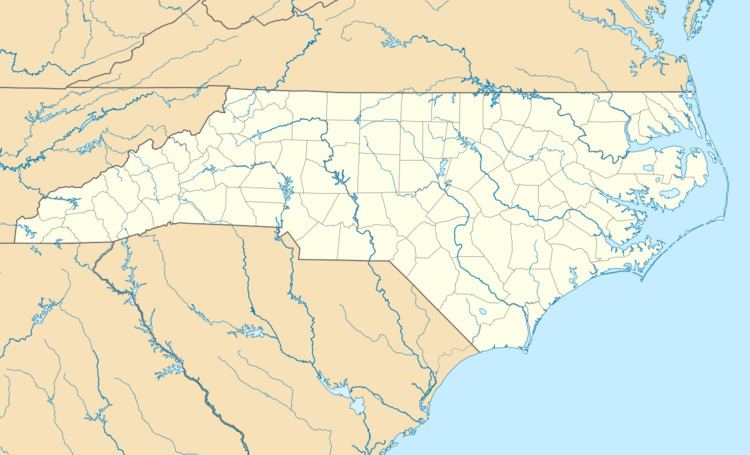
Tapoco is an unincorporated community in Graham County, North Carolina, United States. Tapoco is located on U.S. Route 129 near the Little Tennessee River, 11 miles (18 km) northwest of Robbinsville. Named for the acronym of the former Tallassee Power Company, Tapoco had a post office until it closed on October 26, 1995.
Map of Tapoco, NC 28771, USA
References
Tapoco, North Carolina Wikipedia(Text) CC BY-SA