
Discharge 135.4 m³/s Basin area 5,460 km² Bridges Chulachomklao Bridge | Length 230 km Country Thailand | |
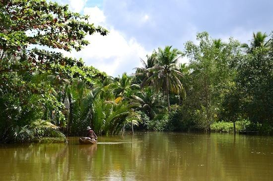 | ||
The Tapi (or Tapee) river (Thai: แม่น้ำตาปี, rtgs: Maenam Tapi, [mɛ̂ːnáːm tāːpīː]) is the longest river in southern Thailand. The river originates at the Khao Luang mountain in Nakhon Si Thammarat Province, and has a wide estuary into the Gulf of Thailand at Bandon Bay near the town of Surat Thani. It has a length of 230 kilometres (140 mi).
Map of Ta Pi, Surat Thani, Thailand
The river drains an area of 5,460 square kilometres (2,110 sq mi) and in 1997 had a yearly discharge of 135.4 cubic metres per second (4,780 cu ft/s) or 4.3 cubic kilometres (3,500,000 acre·ft) per year. The Phum Duang River (or Khiri Rat River), which drains another 6,125 square kilometres (2,365 sq mi) west of the Tapi watershed, joins the estuary 15 kilometres (9 mi) west of Surat Thani in Amphoe Phunphin.
The river was named on July 29, 1915, after the river Tapi in surat, India, shortly after the town of Surat Thani was named after the town Surat from Gujarat, India.
The island of Ko Lamphu (เกาะลำพู) is in the Tapi River, about 9 kilometres (6 mi) from its mouth, right by the Surat Thani town center.
In 1975, an area of 29.6 square kilometres (11.4 sq mi) of swamp land on the east bank of the river in the district Khian Sa was declared the Nong Thung Thong non-hunting area.