Population 439 (2006 census) Postal code 3691 | Postcode(s) 3691 Local time Sunday 11:16 PM | |
 | ||
Weather 22°C, Wind E at 3 km/h, 78% Humidity | ||
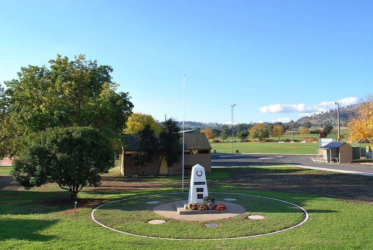
Tangambalanga /ˈtæŋəmbəlæŋə/, or Tangam for short, is a town in north-eastern Victoria, Australia. It is approximately 20 kilometres (12 mi) south-east of the regional centre of Wodonga, in the Kiewa Valley, and 5 kilometres (3.1 mi) from the Hume Weir. The residential district located near the intersection with the Kiewa Valley Highway is known as "Kiewa", with Tangambalanga proper beginning on the other side of the small valley flood plain. At the 2006 census, Tangambalanga had a population of 439.
Map of Tangambalanga VIC 3691, Australia
The town's name is derived from the Aboriginal Pallangaganmiddah Tribe's word (Tan-gam-bool-am) for the white clawed lobster, Murray crayfish. Tangambalanga Post Office opened on 1 December 1911.
Situated in a valley, the town exists around the dairy and cheese factory of the Murray Goulburn Co-operative, which processes milk for the fresh milk market, as well as butter and cheese.
The town also contains a child care centre, kindergarten, swimming pool, football and cricket fields, vet clinic, mechanic, the Kiewa Valley Primary School, two general stores, a pharmacy and a pub. Most shopping is done in Albury-Wodonga, and many residents commute to the larger centre for work.
