
Country New Zealand Territorial authority Population 786 (2013) | Region Bay of Plenty Ward Tāneatua-Waimana Local time Monday 12:05 AM | |
 | ||
Weather 18°C, Wind NE at 19 km/h, 93% Humidity | ||
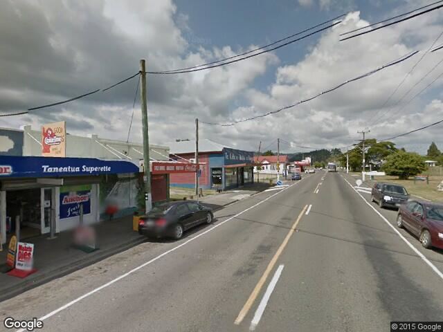
Taneatua is a small town in the Bay of Plenty region of New Zealand's North Island. The town is located southeast of Pekatahi, a similarly small settlement; Whakatane is the nearest significantly sized town. Just to the southwest of Taneatua, the Whakatane River and Waimana Rivers meet. The Whakatane River itself flows to the west of Taneatua, while the Waimana River is south of the township.
Map of Taneatua, New Zealand
Taneatua is officially defined as a "populated area less than a town". The 2013 New Zealand Census of Population and Dwellings found its population to be 786.
Taneatua is home to the whare of Ngāi Tūhoe, Te Uru Taumatua, which includes a library, gallery, archive and large tribal meeting chamber.
State Highway 2 passes through Taneatua on its route between Opotiki to Edgecumbe. The Taneatua Branch railway terminates in Taneatua. Formerly considered part of the East Coast Main Trunk Railway, it is now a branch line off the main line from Hawkens Junction, northwest of Edgecumbe. The line is currently disused and mothballed.