
Plantation grant Church lands Irish grid ref H8195 | First recorded 1654 | |
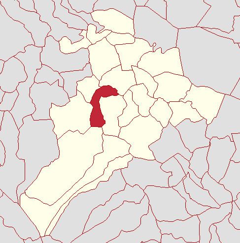 | ||
Tamnyaskey ([ˌtamniˈaːski], from Irish Tamhnaigh Oscair, meaning 'Oscar's field (?)') is a townland lying within the civil parish of Kilcronaghan, County Londonderry, Northern Ireland. It lies in the west of the parish, and is bounded by the townlands of; Brackaghlislea, Calmore, Granny, Mormeal, and Tullyroan. It wasn't apportioned to any of the London livery companies, being kept as church lands.
The townland is currently part of Tobermore electoral ward of Magherafelt District Council, however in 1926 it was part of Tobermore district electoral division as part of the Maghera division of Magherafelt Rural District. It was also part of the historic barony of Loughinsholin.
History
Along with the townlands of Granny, Mormeal, and Tullyroan, Tamneyaskey comprises the four townlands that make up the Bishop of Derrys lands in the parish. Prior to the Plantation of Ulster, these four townlands constituted the termon (or erenagh) land of the parish, and were known as "Ballintrolla, Derreskerdan, Dirrygrinagh et Kellynahawla". Despite these townlands being in the same location as the later townlands, it is now impossible to match their names accurately.