
Sovereign state United Kingdom Province Ulster | Postcode district BT71 Local time Sunday 8:16 AM Dialling code 028 | |
 | ||
Weather 1°C, Wind NW at 5 km/h, 92% Humidity | ||
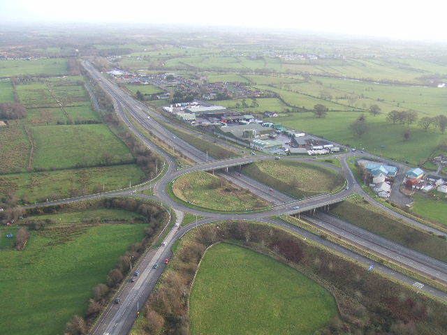
Tamnamore (from Irish: An Tamhnach Mhór, meaning "the large field") is a small village in County Tyrone, Northern Ireland, beside the M1 motorway, 7 km east of Dungannon. It lies within the townland of Tamlaghtmore in the civil parish of Killyman, the historic barony of Dungannon Middle, and is situated in Dungannon and South Tyrone Borough Council.
Map of Tamnamore, Dungannon, UK
Tamnamore Roundabout connects the M1 with the roads to Coalisland, Derrylaughan, Maghery and The Moy.
References
Tamnamore Wikipedia(Text) CC BY-SA