
Time zone EET (UTC+2) Local time Sunday 10:05 AM | Region Tavastia Proper Charter 1868 Website www.tammela.fi | |
 | ||
Weather 2°C, Wind SW at 24 km/h, 82% Humidity Points of interest Liesjärvi National Park, Torronsuo National Park, Saaren kansanpuisto, Hämeen Luontokeskus | ||
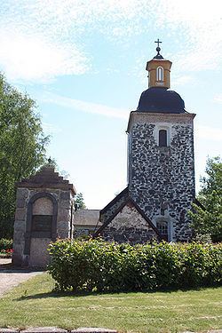
Tammela is a municipality of Finland. The first mention of a village named Tammela was in documents from 1423.
Contents
Map of Tammela, Finland
It is located in the province of Southern Finland and is part of the Tavastia Proper region. The municipality has a population of 6,271 (31 March 2016) and it covers an area of 640.39 square kilometres (247.26 sq mi) of which 74.72 square kilometres (28.85 sq mi) is inland water (2016-01-01). The population density is 10 inhabitants per square kilometre (26/sq mi) (31 March 2016).
The municipality is unilingually Finnish.
Tammela is also the name of a district in the city of Tampere.
Villages
Hevoniemi, Hykkilä, Häiviä, Kallio, Kankainen, Kaukjärvi, Kaukola, Kuuslammi, Kytö, Letku, Liesjärvi, Lunkaa, Mustiala, Myllykylä, Ojainen, Pappila, Patamo, Pikonkorpi, Porras, Riihivalkama, Saari, Sukula, Susikas, Taljala, Talpia, Tammela, Teuro, Torajärvi, Torro.