
Municipal Districts 1 Population 102,865 (2012) | Municipality since 1900 Area 63.98 km² Local time Sunday 1:12 AM | |
 | ||
Weather 21°C, Wind W at 10 km/h, 97% Humidity | ||
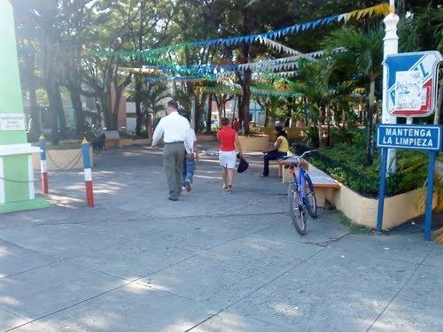
Tamboril is a municipality (municipio) of the Santiago province in the Dominican Republic. Tamboril is situated in the northeast part of the province, at the foot of the Cordillera Septentrional mountains, at 230 meters above sea level. The municipality has an area of 71.4 km²; it borders Puerto Plata Province (North), Licey (South), Espaillat Province (East), and Santiago (West).
Map of Tamboril 51000, Dominican Republic
The municipality was created in 1900 under the name Peña, which name it kept until 1962 when it was changed to Tamboril. The municipality contains the municipal district of Canca La Piedra, six rural sections, and 36 places (parajes). Since 2002, the mayor has been Francisco Álvarez, of the Partido Revolucionario Dominicano (PRD).
Tamboril is one of the major agricultural producers in the province, principal crops being plantains, cassava, and sweet potato, which are sold in the markets in Santiago. Cigarettes and chocolates are manufactured.
Due to the proximity to Santiago, where much of the population obtains health and education, the social services in Tamboril are abbreviated and consist of a health clinic, and two rural polyclinics. There is a state school and two libraries.