
Elevation 14 m Population 8,000 (2001) | Time zone EAT (UTC3) Local time Sunday 8:05 AM Number of airports 1 | |
 | ||
Weather 28°C, Wind S at 6 km/h, 84% Humidity | ||
Tambohorano is a town and commune (Malagasy: kaominina) on the west coast of Madagascar approximately 290 kilometres north-west of the capital Antananarivo.. It belongs to the district of Maintirano, which is a part of Melaky Region. The population of the commune was estimated to be approximately 8,000 in 2001 commune census.
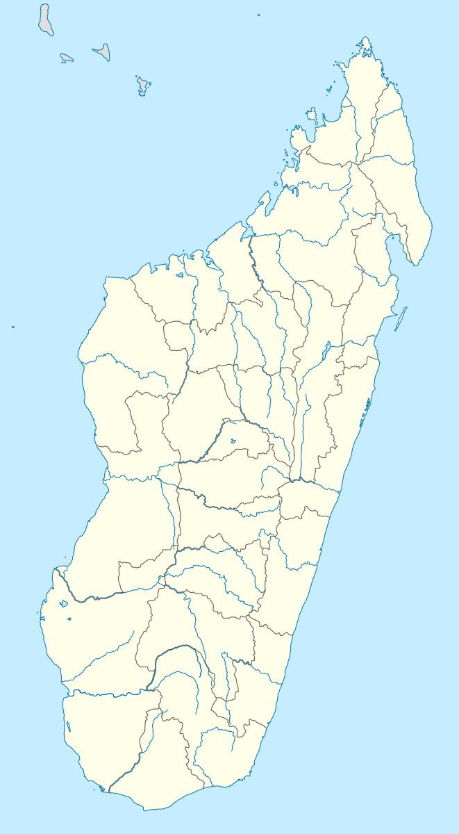
Map of Tambohorano, Madagascar
Tambohorano is served by a local airport and maritime harbour. Primary and junior level secondary education are available in town. The majority 65% of the population of the commune are farmers, while an additional 20% receives their livelihood from raising livestock. The most important crop is rice, while other important products are wheat, coconuts, cassava and barley. Services provide employment for 5% of the population. Additionally fishing employs 10% of the population.