
Country United States Time zone CST (UTC-6) Elevation 147 m Population 566 (2010) | Settlement November 6, 1888 ZIP codes 62246, 62253, 62284 Area 98.7 km² Local time Saturday 10:14 PM | |
 | ||
Weather 14°C, Wind SE at 14 km/h, 93% Humidity | ||
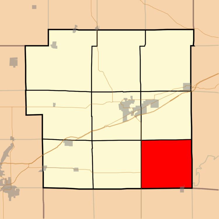
Tamalco Township is one of nine townships in Bond County, Illinois, USA. As of the 2010 census, its population was 566 and it contained 278 housing units.
Contents
- Map of Tamalco Township IL USA
- Geography
- Cities
- Unincorporated towns
- Cemeteries
- Major highways
- Lakes
- School districts
- Political districts
- References
Map of Tamalco Township, IL, USA
Geography
According to the 2010 census, the township has a total area of 38.11 square miles (98.7 km2), of which 37.17 square miles (96.3 km2) (or 97.53%) is land and 0.94 square miles (2.4 km2) (or 2.47%) is water.
Cities
Unincorporated towns
Cemeteries
The township contains these four cemeteries: Duncan, McKendree, Payne and Saint Peters.
Major highways
Lakes
School districts
Political districts
References
Tamalco Township, Bond County, Illinois Wikipedia(Text) CC BY-SA