
Country Japan District Sannohe Area 242 km² Local time Sunday 2:59 AM | Region Tōhoku Phone number 0179-32-3111 Population 5,821 (31 Jan 2017) Prefecture Aomori Prefecture | |
 | ||
Time zone Japan Standard Time (UTC+9) Address 81 Tenjindōtai Tako-machi, Sannohe-gun, Aomori-ken 039-0201 Weather -3°C, Wind SW at 6 km/h, 87% Humidity | ||
Takko (田子町, Takko-machi) is a town located in Sannohe District of southeastern Aomori Prefecture in the northern Tōhoku region of Japan. As of 31 January 2017, the town had an estimated population of 5,821 and a population density of 24 persons per km2, in 2,214 households. The total area of the town was 241.98 square kilometres (93.43 sq mi).
Contents
- Map of Takko Sannohe District Aomori Prefecture Japan
- Geography
- Neighbouring municipalities
- Demographics
- History
- Economy
- Education
- Railway
- Highway
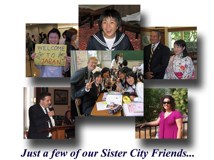
- International relations
- Noted people from Takko
- References
Map of Takko, Sannohe District, Aomori Prefecture, Japan
Geography
Takko occupies the far southeast corner of Aomori Prefecture, south of the Hakkoda Mountains. Much of the town is mountainous, and has a cold Humid continental climate characterized by cool, short summers and long, cold winters with extremely heavy snowfall (Köppen climate classification Dfa). The average annual temperature in Takko is 8.8 °C. The average annual rainfall is 1375 mm with September as the wettest month.The temperatures are highest on average in August, at around 22.4 °C, and lowest in January, at around -3.8 °C. . The mountainous area is home to many indigenous plant and animal species. Wildlife includes Japanese macaque monkeys, kamoshika, tanuki, and Asian black bears.
Neighbouring municipalities
Aomori Prefecture
Iwate Prefecture
Akita Prefecture
Demographics
Per Japanese census data, the population of Takko has declined over the past 40 years.
History
The area around Takko has been inhabited since prehistoric times, and numerous Jomon period remains have been discovered. The town name is derived from an Ainu word “tapkop”, meaning “small hill”. During the Edo period, the area was controlled by the Nambu clan of Morioka Domain and later by Hachinohe Domain. During the post-Meiji restoration cadastral reform of April 1, 1889, Takko Village was created as a separate village from former Kamigō Village. It was elevated to town status on November 10, 1928. On March 1, 1955, Kamigō Village merged back with Takko Town.
Economy
The economy of Takko is heavily dependent on agriculture and forestry. The main crop is garlic, of which Takko is Japan's largest producer.
Education
Takko has three public elementary schools and one public middle school operated by the town government and one public high school operated by the Aomori Prefectural Board of Education.
High School (1)
Middle School (1)
Elementary Schools (3)
Kindergarten (1)
Nursery Schools (2)