Local time Saturday 8:17 PM | ||
 | ||
Weather 8°C, Wind SW at 14 km/h, 90% Humidity | ||
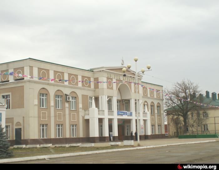
Takhtamukay (Russian: Тахтамука́й; Adyghe: Тэхъутэмыкъуай [taχʷtaməqʷaːj], Teh̦utemyqwaj) is a rural locality (an aul) and the administrative center of Takhtamukaysky District of the Republic of Adygea, Russia, located 118 kilometers (73 mi) northwest of Maykop. Population: 5,214 (2010 Census); 5,117 (2002 Census); 5,212 (1989 Census).
Map of Takhtamukay, Adygea, Russia, 385100
Before 1990, it was called the settlement of Oktyabrsky (Октя́брьский).
Kurgans dated 2nd–1st millennium BCE are located in the vicinity of the aul.
References
Takhtamukay Wikipedia(Text) CC BY-SA
