
Local time Saturday 4:47 AM | ||
 | ||
Weather 12°C, Wind E at 5 km/h, 92% Humidity | ||
Tajiguas was a Native American village of the Chumash people located on the Gaviota Coast in the County of Santa Barbara, California in the United States.
Contents
Map of Tajiguas, California 93117, USA
Historical observations
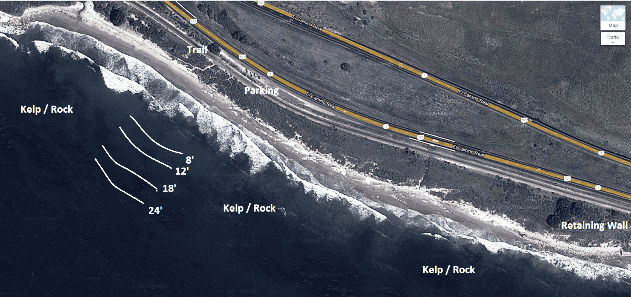
The village was situated on the Pacific coast, at the site of the current Tajiguas Beach, 2 miles west of Refugio State Beach. Tajiguas ... probably means 'the basket' ... 42 houses on one side, 37 on the other ... at least 400 souls ... August of 1769 ... Six years later ... completely abandoned. The settlement spanned two sides of a creek and was known to be inhabited by 400 or more people until 1769. Six years later, it was found abandoned, and the people are believed to have been forced by war to move slightly to the east to the coastal villages of Qasil and Shishuchi'i'.
References
Tajiguas, California Wikipedia(Text) CC BY-SA