
Country Burma Time zone MST (UTC+6.30) Local time Saturday 12:22 PM | Elevation 1,200 m | |
 | ||
Weather 13°C, Wind SE at 6 km/h, 78% Humidity | ||
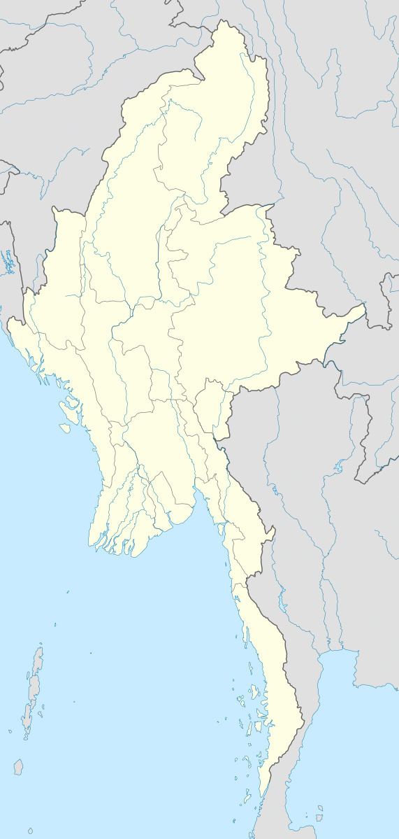
Tahaundam is the northernmost village inhabited year round by ethnic Tibetans of northern Kachin State, in extreme northern Myanmar (formerly Burma). The village, at an elevation of 1200 m, is surrounded by snow-capped mountains, rising to the highest peak of Myanmar, Mt. Hkakabo Razi at 5880 m. Tahaundam is briefly described by the WCS. Between Tahaundam and Nogmung are several smaller villages with local ethnic groups (e.g., Lisu, Rawang).
Climate
Tahaundam has a humid subtropical highland climate (Köppen climate classification Cwb).Temperatures are relatively mild throughout the year.Tahaundam is a very foggy village around the whole year.
References
Tahaundam Wikipedia(Text) CC BY-SA