
Country Capital Tacuarembo | Area 15,438 km2 Population 90,053 | |
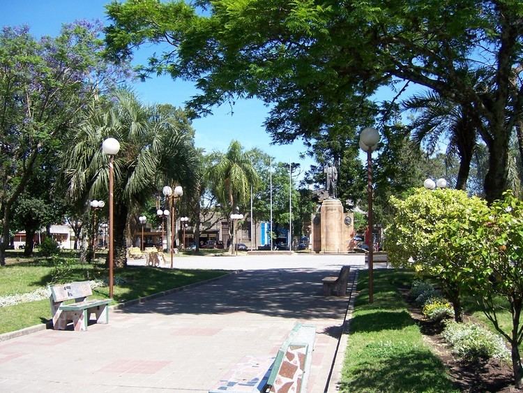
Tacuarembó is the largest department of Uruguay and it is part of its northern region. Its capital is Tacuarembó. It borders Rivera Department to its north and east, the departments of Salto, Paysandú and Río Negro to its west and has the river Río Negro flowing along its south border, separating it from the departments of Durazno and Cerro Largo.
Contents
Map of Tacuarembó-Department
History
The first division of the Republic in six departments happened in 1816. Two more departments were formed later in that year. At that time, Paysandú Department included all the territory north of the Río Negro, which included the actual departments of Artigas, Rivera, Tacuarembó, Salto, Paysandú and Río Negro. On 17 June 1837 a new division of Uruguay was made and this territory was divided in three parts. In the new division, the Tacuarembó Department included also the actual department of Rivera, until it was split from it in 1884.
Geography
The south borders of the department are delimited by Río Negro, which, as a result of the dam near Paso de los Toros along its course, forms the Rincón del Bonete Reservoir, also called the Gabriel Terra Reservoir. With a surface area of about 4,000 square miles (10,000 km2), it is the largest reservoir in South America. Tributary streams and rivers to the Río Negro, from east to west are: Río Tacuarembó with its many tributaries, Arroyo de Clara with its tributary Arroyo del Sarandí, Arroyo Malo with its tributaries Arroyo Rolón and Arroyo Guaviyú. Into the Rincón del Bonete Reservoir discharge the streams Arroyo Carpintería, Arroyo Laureles, Arroyo Achar, Arroyo del Tigre Chico and Arroyo Cardoso.
Part of the western border of the department with if formed by Arroyo Salsipuedes Grande, which discharges further downstream the Río Negro, into the Rincón de Baygorria Reservoir. A tributary of this stream is Arroyo Salsipuedes Chico.
Tributaries of Río Tacuarembó flowing through most of the north of the department, from east to west, are: Arroyo Caraguatá with its tributaries Arroyo Coronilla, Bañado de los Cinco Sauces and Bañado del Turupí, Arroyo Yaguarí with its tributaries Arroyo Carpintería and Arroyo Cuaró, Arroyo Zapucay, Arroyo Cuñapirú, Arroyo Laureles which also forms part of the northern border of the department, Arroyo de las Cañas, Arroyo Tacuarembó Chico with its tributaries Arroyo Tres Cruces, Arroyo Tranqueras and Arroyo Batoví, and Arroyo Veras. A small lake named Laguna Paolino forms on the west side of Arroyo Yaguarí near Ansina.
Along the west border of the department runs the hill range Cuchilla de Haedo, forming the hills Cerro de las Minas, Cerros de Batoví, Cerro Charrúa and Cerro Lambaré. Further to the west is also the hill Cerro del Ñandubal.
Population and Demographics
As of the census of 2011, Tacuarembó Department had a population of 90,053 (male and female) and 37,647 households.
Demographic data for Florida Department in 2010:
2010 Data Source: