
Postcode(s) 4258 Local time Saturday 8:42 AM | Postal code 4258 | |
 | ||
Weather 24°C, Wind S at 11 km/h, 70% Humidity | ||
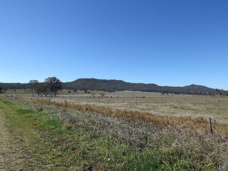
Tabragalba is a locality in the Scenic Rim Region of South East Queensland, Australia.
Contents
Map of Tabragalba QLD 4285, Australia
Geography
The eastern border of Tabragalba follows a ridge line and includes Mount Tabragalba. Part of the western boundary is marked by the Albert River. The Beaudesert Nerang Road traverses the northern end. Agriculture is the predominate land use.
History
The name originates from an Aboriginal expression that was given to local pastoral station established in 1843. The name was also used for an early local government area known as Tabragalba Division which became the Shire of Tabragalba, then Beaudesert Shire. In 2008, the shire was merged into the new Scenic Rim Region.
Heritage listings
Tabragalba has a number of heritage-listed sites, including:
Wyambyn
Heritage listed Wyambyn homestead was designed by Robin Dods and built in 1909 at Tabragalba. The design features the Arts and Crafts architectural style. Cattle were originally raised on the property until the 1920s when sheep became more profitable. The homestead was used as a setting in the movie Unfinished Sky in 2007.