
 | ||
Location MIMAROPAWestern Visayas | ||
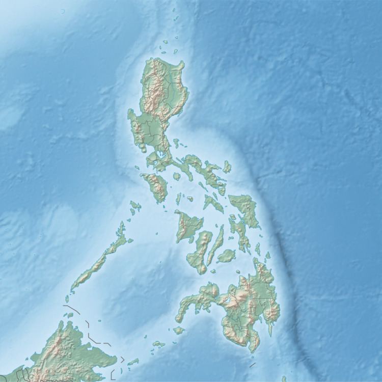
Tablas Strait (Filipino: Kipot ng Tablas), also Tabuas Strait, is a strait in the Philippines separating Mindoro Island from Panay and Romblon islands. The approximate depth of the strait is 545 meters (1,788 ft).
Map of Tablas Strait, Philippines
The strait is known for being the place where the Sulpicio Lines-owned passenger ferry MV Doña Paz sank on 20 December 1987 after colliding with the oil tanker MT Vector, resulting in more than 4,000 deaths. It was one of the deadliest shipwrecks in history. See also MV Wilhelm Gustloff .
References
Tablas Strait Wikipedia(Text) CC BY-SA