
Time zone BRT/BRST (UTC-3/-2) Area 345.6 km² Postal code 15880-000 | Elevation 580 m (1,900 ft) Website www.tabapua.sp.gov.br Local time Wednesday 6:39 AM Area code +55 17 | |
 | ||
Weather 22°C, Wind NE at 8 km/h, 67% Humidity | ||
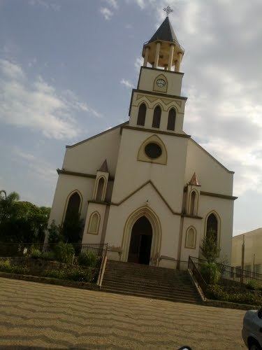
Tabapuã is a municipality in the state of São Paulo, Brazil. The population is 12,103 (2015 est.) in an area of 345.6 km².
Map of Tabapu%C3%A3 - State of S%C3%A3o Paulo, Brazil
Tabapuã belongs to the Mesoregion of São José do Rio Preto.
References
Tabapuã Wikipedia(Text) CC BY-SA