
Country Philippines District 3rd district of Leyte Time zone PST (UTC+8) Mayor Benjo Remandaban | Province Leyte Barangays ZIP code 6536 Local time Wednesday 5:34 PM | |
 | ||
Region Eastern Visayas (Region VIII) Weather 28°C, Wind NE at 19 km/h, 74% Humidity | ||
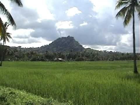
Scenic view of tabango leyte philippines
Tabango is a 4th class municipality in the province of Leyte, Philippines. According to the 2015 census, it has a population of 34,195 people.
Contents
Map of Tabango, Leyte, Philippines
Tabango, with annual income of P 34 million, has 13 barangays (villages), with 26 elementary schools, 4 high schools and one satellite school, the Palompon Institute of Technology.
Barangays
Tabango is politically subdivided into 13 barangays.
History
In 1957 the sitios of Gibacungan, Catmon and Manlawa-an were converted into barrios.
On January 17, 2008, Tabango Mayor Bernard Jonathan Remandaban opened (soft) the almost complete P 5.8 million modern, fully air-conditioned library: “It took us 6 years to construct our municipal library.” The library can accommodate 20,000 books, has 5 computer units with Internet access and a flat television set that only carries the National Geographic and Discovery Channels. Students can use the computers for 10 hours monthly, free of charge.