
Area 11,297 km² | Time zone GMT (UTC+0) Local time Monday 8:33 PM | |
 | ||
Weather 36°C, Wind NE at 14 km/h, 8% Humidity | ||
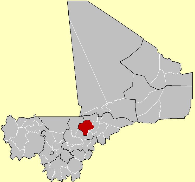
Ténenkou Cercle is an administrative subdivision of the Mopti Region of Mali. Its seat is the town of Ténenkou, which is also its largest town. The cercle is divided into communes.
Map of Tenenkou, Mali
Ténenkou Cercle contains the following ten communes:
References
Ténenkou Cercle Wikipedia(Text) CC BY-SA