
Length 111 km Mouth Gulf of Nicoya Mouth elevation 0 | Basin size 2,121 km (819 sq mi) | |
 | ||
River mouth Gulf of Nicoya0 m (0 ft) | ||
The Tárcoles River, also called the Grande de Tárcoles River or the Río Grande de Tarcoles, in Costa Rica originates on the southern slopes of the Cordillera Central volcanic range and flows in a south-westerly direction to the Gulf of Nicoya. The river is 111 km long and its watershed covers an area of 2,121 km2, which encompasses around 50% of the country's population.
Map of River Tarcoles, Costa Rica
The river is the most contaminated river in Costa Rica, carrying much of the sewage from the central towns and cities. The river's watershed drains approximately 67% of Costa Rica's untreated organic and industrial waste and is considered the most contaminated river basin in the country. It was also affected by a leak of 400 thousand litres of diesel fuel by the state-owned Costa Rican Petroleum Refinery in 2000 which further damaged the ecology of the river and its immediate surroundings.
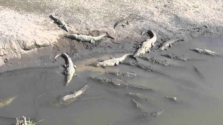
The river's upper reaches form the northern border of the Carara Biological Reserve. It is a habitat for American crocodiles, while the marshes located at the river's mouth have many waterfowl and wading birds. Among the many herons and egrets are the boatbill and bare-throated tiger heron, and other birds found here include double-striped thick-knee, mangrove warbler and American pygmy kingfisher.
Reptiles, such as the American crocodile, caiman, common basilisk and large iguanas, are also easily seen.