
Country Colombia Area 243 km² | Elevation 1,638 m (5,374 ft) Local time Monday 2:42 PM | |
 | ||
Time zone Colombia Standard Time (UTC-5) Weather 25°C, Wind NE at 10 km/h, 49% Humidity | ||
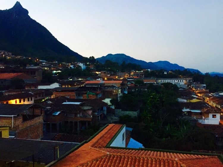
Támesis is a town and municipality in the Colombian department of Antioquia. Part of the subregion of Southwestern Antioquia. It was established in 1858. The local economy is based on agriculture.
Contents
Map of T%C3%A1mesis, Antioquia, Colombia
Environmental issues
The mountains in the area, including the Cerro de Cristo Rey mountain overlooking Támesis and a sacred mountain to the Indians, contain valuable mineral deposits. There are plans to develop these resources, but these plans have met local opposition. Some locals are against mining in general, whereas others are questioning the regulation of mining activities that is seen as protecting the multinational companies.
References
Támesis, Antioquia Wikipedia(Text) CC BY-SA