
Time zone CET (UTC+1) Area 45.69 km² Local time Monday 9:40 PM | County Fejér Postal code 8121 Population 1,560 (2004) Area code 22 | |
 | ||
Weather 8°C, Wind W at 3 km/h, 52% Humidity | ||
Tác is a village in Hungary. In the time of Roman Empire it was known as Gorsium-Herculia. An open-air museum presents the ruins.
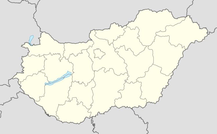
Map of T%C3%A1c, 8121 Hungary
References
Tác Wikipedia(Text) CC BY-SA