
Country Vietnam Time zone UTC + 7 (UTC+7) Local time Tuesday 11:36 PM | Capital An Châu Area 844 km² Province Bac Giang Province | |
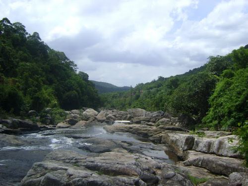 | ||
Sơn Động District is a rural district of Bắc Giang Province in the northeast region of Vietnam. As of 2003 the district had a population of 70,629. The district covers an area of 844 km². The district capital lies at An Châu. There are some cultural sites here such as: Chẽ pagoda, Female King temple, Lục Liễu temple, Đặng temple and Chẽ temple.
Contents
Map of S%C6%A1n %C4%90%E1%BB%99ng District, Bac Giang, Vietnam
Administrative divisions
The district is divided administratively into two townships, An Châu (the capital) and Thanh Sơn and the communes of Hữu Sản, An Lạc, Vân Sơn, Lệ Viễn, Vĩnh Khương, An Lập, Dương Hưu, Long Sơn, An Châu, An Bá, Yên Định, Tuấn Đạo, Bồng Am, Thanh Luận, Cẩm Đàn, Giáo Liêm, Chiên Sơn, Quế Sơn, Phúc Thắng, Thạch Sơn, Tuấn Mậu.
References
Sơn Động District Wikipedia(Text) CC BY-SA