
Area 201.9 km² Local time Tuesday 6:27 AM | Subregion Dão-Lafões Parishes 9 Population 12,444 (2011) | |
 | ||
Weather 9°C, Wind NE at 13 km/h, 75% Humidity | ||
S t o a festejar
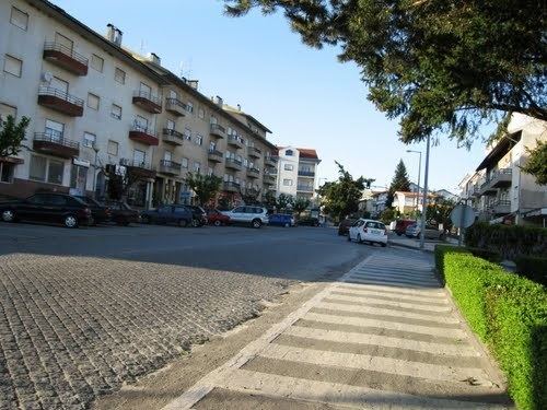
Sátão ([ˈsatɐ̃w]) is a municipality in the district Viseu in Portugal. The population in 2011 was 12,444, in an area of 201.94 km².
Contents
Map of S%C3%A1t%C3%A3o, Portugal
The present mayor is Alexandre Manuel Mendonça Vaz, elected by the Social Democratic Party. The municipal holiday is August 20.
Parishes
Administratively, the municipality is divided into 9 civil parishes (freguesias):
References
Sátão Wikipedia(Text) CC BY-SA