
Local time Monday 3:45 AM | ||
 | ||
Weather 17°C, Wind S at 14 km/h, 96% Humidity | ||
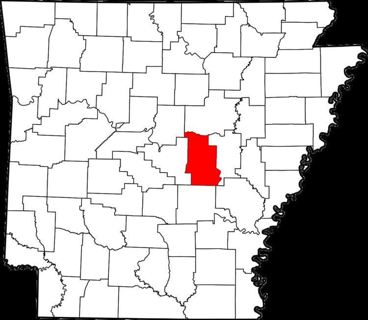
Sylvania, Arkansas is a small populated unincorporated community located in Lonoke County at latitude 34.972 and longitude -91.928. The elevation is 276 feet. Sylvania appears on the Oak Grove U.S. Geological Survey Map. Arkansas Highway 321 runs through the community. Its zip (or postal) code is 72176.
Contents
Map of Sylvania, AR 72176, USA
Cabot, the largest city near the town, is located 5 miles to the west. Cabot has a population of over 20,000. Austin, Butlerville and Oak Grove are other communities located near Sylvania.
The town appears on Google Maps as "Sylvania Caroline" mainly because the Caroline Township is located in the area.
Notable places
References
Sylvania, Arkansas Wikipedia(Text) CC BY-SA