Status Suspended Impounds Acheloos River Surface area 12.8 km² Impound Achelous River | Type of dam Embankment, earth-fill Height 170 m Construction began 1996 | |
 | ||
Purpose River diversion, irrigation, power Owner Ministry for the Environment, Physical Planning and Public Works Similar Messochora Dam, Stratos Dam, Kastraki Dam, Kremasta Dam, Thissavros Dam | ||
The Sykia Dam is a mostly constructed but unused earth-filled embankment dam on the Acheloos River along the border of Karditsa and Arta, Greece. The 170 m (560 ft) tall dam is part of the Acheloos River Diversion which is intended to divert a portion of the Acheloos west to irrigate 240,000–380,000 ha (590,000–940,000 acres) in the Thessaly plains. The project includes the Sykia, Messochora, Mouzaki and Pyli Dams along with a 17.4 km (10.8 mi) long channel.
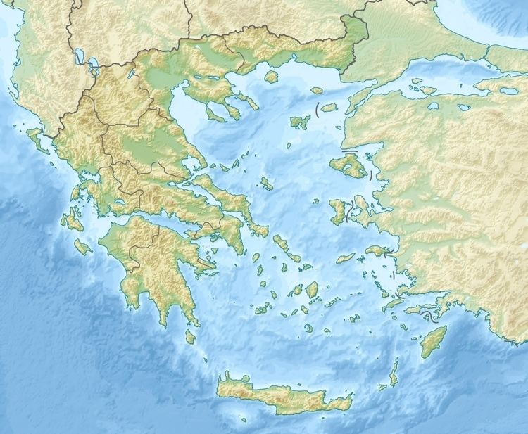
Map of Sykia Dam, Tetrafilia 470 47, Greece
The idea for the Sykia Dam and overall diversion project was first envisioned in the 1930s but a lack of funding precluded construction. Interest in the project was revived in 1984 and construction on the dam began in 1996. Over the next several years there was a series of legal battles that led to final construction stalling, most recently in 2005. Opponents of the scheme cite significant changes to the environment, flooding of villages and that the scheme will divert 600,000,000 m3 (490,000 acre·ft) of water annually from the Acheloss. Supporters call on the benefit to the lucrative cotton crops it will help irrigate and the dam's planned 120 MW hydroelectric power plant.
