
Population 139 (2011 census) Civil parish Swine Dialling code 01964 | OS grid reference TA136358 Local time Sunday 11:16 PM Postcode district HU11 | |
 | ||
Unitary authority Weather 7°C, Wind SE at 10 km/h, 95% Humidity | ||
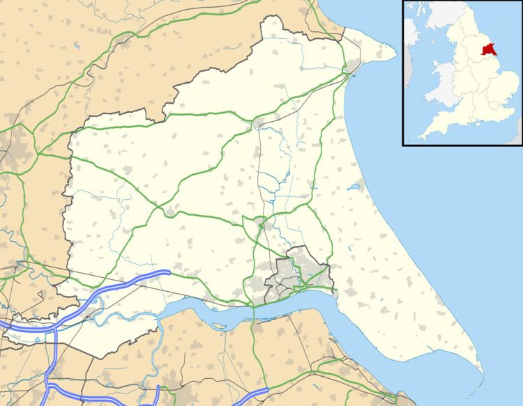
Swine is a village and civil parish in the East Riding of Yorkshire, England. It is situated approximately 5 miles (8 km) north-east of Hull city centre and 2 miles (3.2 km) south of Skirlaugh to the west of the A165 road.
Map of Swine, UK
The civil parish of Swine consists of the village of Swine and the hamlet of Benningholme. According to the 2011 UK census, Swine parish had a population of 139, a decrease on the 2001 UK census figure of 143.
The Priory Church of St Mary the Virgin was designated a Grade I listed building in 1966 and is now recorded in the National Heritage List for England, maintained by Historic England.
Swine was served from 1864 to 1964 by Swine railway station on the Hull and Hornsea Railway.
Two miles south-west of the village are the earthwork remains of the medieval Swine Castle that is a Scheduled Ancient Monument.