
Local time Sunday 3:53 AM | ||
 | ||
Weather 9°C, Wind W at 13 km/h, 70% Humidity | ||
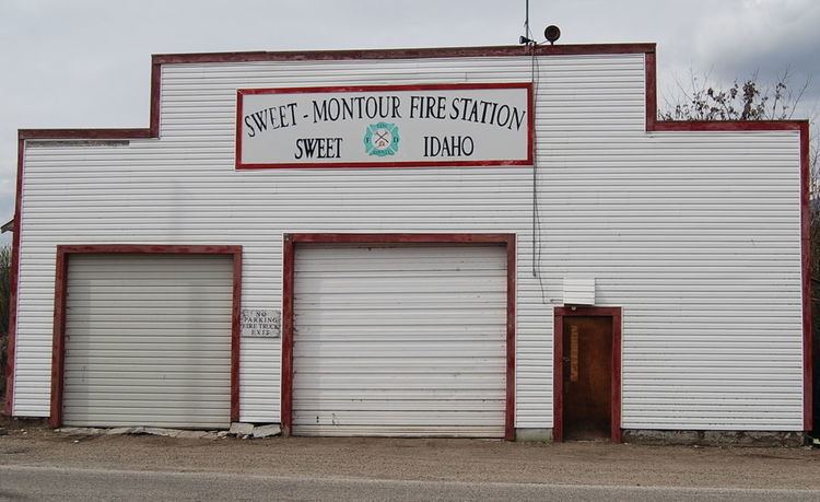
Sweet is an unincorporated community in Gem County, Idaho, United States. It is located in open countryside approximately 16 miles (26 km) northeast of Emmett, along a county highway 8 miles due north of its intersection with State Highway 52.
Map of Sweet, ID 83670, USA
Founded in 1885 by Ezekiel Sweet, the community initially was a supply location and post office for farmers and ranchers in the nearby Lower Squaw Creek Valley. Sweet grew significantly as a result of the later Thunder Mountain Mines gold strike; by 1900, it supported three saloon, three hotels, several businesses and a newspaper, which lasted until the gold mines petered out. Several subsequent fires destroyed most of the historic downtown. Today, a smaller Sweet is the location of a restaurant and post office.
The Upper Brownlee School in Sweet, and the Sweet Methodist Episcopal Church, are both listed on the National Register of Historic Places.
Shadow Butte, located northwest of Sweet, and is a notable landmark in the area.