
County Hordaland Area 236 ha Population 2,485 (2013) | Elevation 20 m (70 ft) Local time Sunday 1:40 AM | |
 | ||
Weather 7°C, Wind S at 10 km/h, 94% Humidity | ||
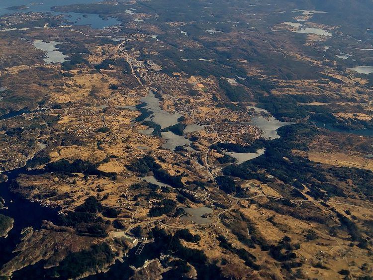
Svortland or Bremnes is the administrative centre of Bømlo municipality in Hordaland county, Norway. The village is located in the north-central part of the island of Bømlo, about 6 kilometres (3.7 mi) west of the village of Rubbestadneset. The village surrounds the lake Storavatnet. The Norwegian County Road 542 runs through the village.
Map of 5430 Svortland, Norway
The 2.36-square-kilometre (580-acre) village has a population (2013) of 2,485. The village a population density of 1,053 inhabitants per square kilometre (2,730/sq mi) and is the largest urban area in Bømlo municipality. In addition to municipal services, Svortland is also the location of Bremnes Church, an elementary school, a medical centre, a community centre, and many stores and businesses.
The village was historically named Bremnes after the local church. There was also a local farm in Bremnes called Sortland, which was also used to refer to the area. In the 1990s, the municipal council officially named the urban area Svortland.