
 | ||
Similar Monkodonja, Church of St Euphe, Škaraba, Lim, Badija | ||
Sveti Andrija (Croatian for Saint Andrew, Italian: Isola di Sant'Andrea) is an island in the Croatian part of the Adriatic Sea. It was also called Crveni otok (Croatian for red island) after World War II. It is situated near Rovinj and connected with neighbouring island of Maškin with an embankment. Its area is 0.144 km2 (0.056 sq mi).
Contents
Map of Sveti Andrija, Croatia
HistoryEdit
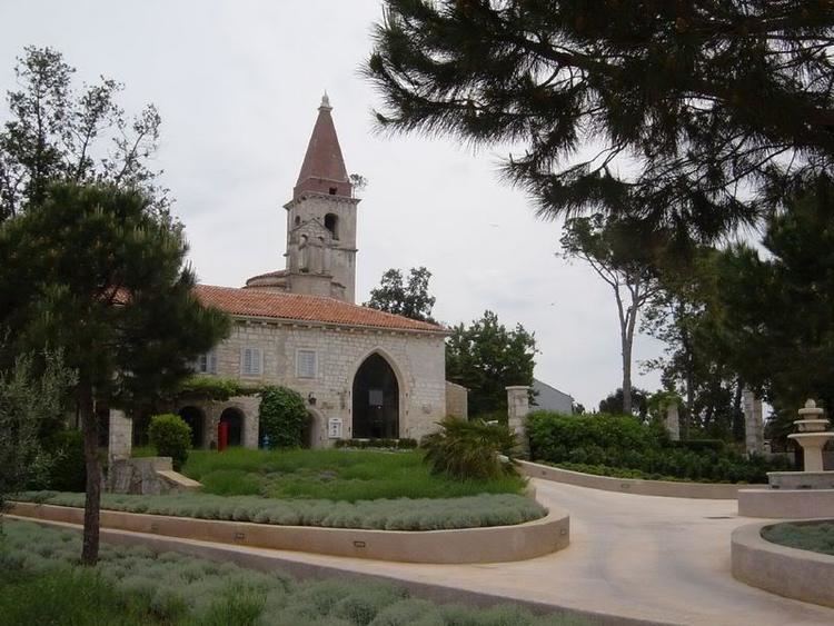
The island was probably inhabited in prehistory. In the 6th century, Benedictines built a monastery on the island. The Benedictines left the island in the 13th century and in the 15th century it was taken over by Franciscans who renovated the church and the monastery. In 1809, the island was conquered by France, and in 1892 a cement and lime factory was built on the island using the church tower as a chimney.
PopulationEdit
According to statistics it has a current, reported population of 1 person.