
Time zone CET (UTC+1) Website Grad Sveta Nedelja Population 18,059 (2011) Area code 01 | Postal code 10431 Area 52.6 km² Local time Sunday 12:26 AM | |
 | ||
Weather 13°C, Wind W at 3 km/h, 53% Humidity | ||
Sveta Nedelja (literally Holy Sunday in English, or Saint Kyriake) is a town in Zagreb County, Croatia.
Contents
- Map of Sveta Nedelja Croatia
- Geography
- Population
- Administration
- Economy
- Monuments and Sightseeing
- Education
- References
Map of Sveta Nedelja, Croatia
Geography
Sveta Nedelja is situated west of Zagreb near the town of Samobor. The name of the town means "Holy Sunday". It is connected to the city by the A3 (Zagreb-Bregana) highway, which passes northwest-southeast through the town, and Franjo Tuđman Road going east-west towards the Podsused Bridge.
Population
In the Croatian census of 2011, the total population of the city of Sveta Nedelja was 18,059, divided into 14 settlements:
Administration
City government, health-service, post office are the part of infrastructure of Sveta Nedelja. Head of the City government is a Mayor (current mayor is Drago Prahin) with head city administration.
Economy
Rimac Automobili has its headquarters in the town. It is also the wealthiest municipality in Zagreb County and one of the wealthiest municipalities in the country and with most registered small enterprises in the country.
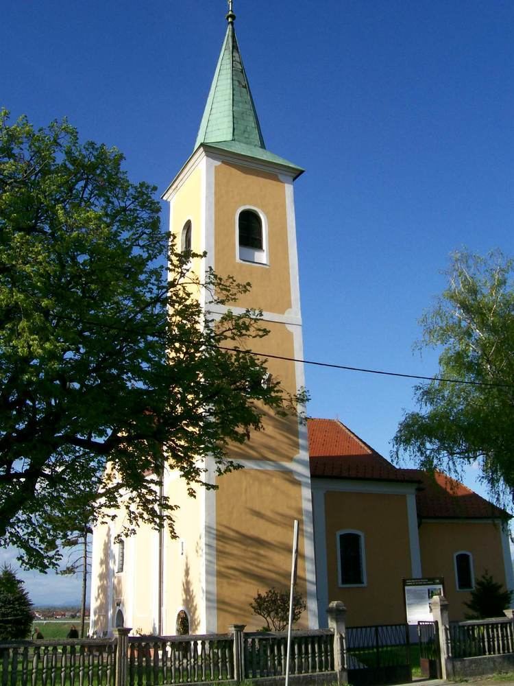
Monuments and Sightseeing
There are several monuments and buildings for sightseers in the Town of Sveta Nedelja:
Education
Primary education in Sveta Nedelja is covered by the Sveta Nedelja Elementary School and its three branch offices in Kerestinec, Rakitje and Strmec. Another branch office is located in Rakov Potok in the Stupnik municipality.