
Elevation 5,458 m | ||
 | ||
Parent range Andes, Cordillera Occidental | ||
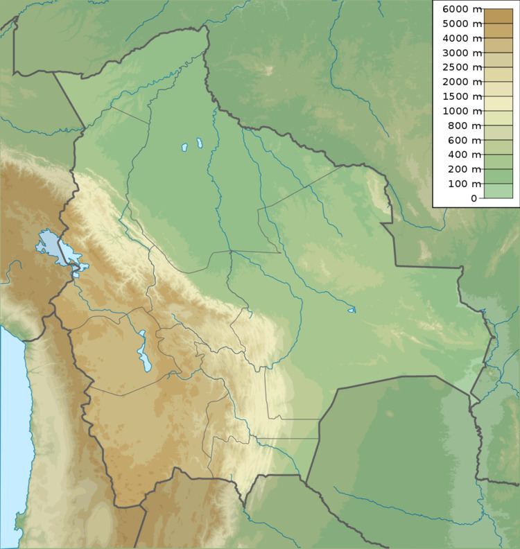
Suri Phuyu (Aymara suri rhea, phuyu feather, "rhea feather", also spelled Suriphuyo) is a 5,458-metre (17,907 ft) high mountain in the Cordillera Occidental in the Bolivian Andes. It is located in the Potosí Department, Sur Lípez Province, San Pablo de Lípez Municipality. Suri Phuyu lies within the borders of the Eduardo Avaroa Andean Fauna National Reserve. It is situated southwest of the Uturunku volcano at the Challwiri salt flat, northeast of it.
Map of Cerro Suriphuyo, Bolivia
References
Suri Phuyu Wikipedia(Text) CC BY-SA