
Country United States County Chippewa ZIP 49715 Elevation 247 m Local time Friday 8:08 PM | Time zone Eastern (EST) (UTC-5) FIPS code 26-77540 Population 1,337 (2010) | |
 | ||
Weather 3°C, Wind W at 18 km/h, 63% Humidity Area 271.2 km² (266.8 km² Land / 4.403 km² Water) University Bay Mills Community College | ||
Superior Township is a civil township of Chippewa County in the U.S. state of Michigan. The population was 1,337 at the 2010 census.
Contents
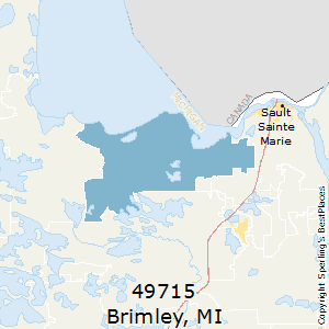
Map of Superior Township, MI, USA
The federally recognized Bay Mills Indian Community has its land base reservation here, based near Brimley. It operates Bay Mills Community College, a tribal college open to the entire community of the Upper Peninsula. It also operates a casino on its reservation, to generate funds for education and welfare of its people.
Communities
Geography
Superior Township is located in north of the center of Chippewa County. According to the United States Census Bureau, the township has a total area of 104.7 square miles (271.1 km2), of which 103.0 square miles (266.7 km2) is land and 1.7 square miles (4.4 km2), or 1.62%, is water.
The Delirium Wilderness is located several miles south of the community of Raco and extends into Kinross Township to the south.
Demographics
As of the census of 2000, there were 1,329 people, 515 households, and 384 families residing in the township. The population density was 12.9 per square mile (5.0/km²). There were 759 housing units at an average density of 7.4 per square mile (2.8/km²). The racial makeup of the township was 72.54% White, 0.08% African American, 21.44% Native American, and 5.94% from two or more races. Hispanic or Latino of any race were 0.53% of the population.
There were 515 households out of which 33.4% had children under the age of 18 living with them, 59.4% were married couples living together, 9.5% had a female householder with no husband present, and 25.4% were non-families. 21.2% of all households were made up of individuals and 7.8% had someone living alone who was 65 years of age or older. The average household size was 2.58 and the average family size was 2.96.
In the township the population was spread out with 27.0% under the age of 18, 7.4% from 18 to 24, 27.0% from 25 to 44, 26.0% from 45 to 64, and 12.6% who were 65 years of age or older. The median age was 38 years. For every 100 females there were 104.8 males. For every 100 females age 18 and over, there were 102.5 males.
The median income for a household in the township was $39,375, and the median income for a family was $43,587. Males had a median income of $35,294 versus $20,038 for females. The per capita income for the township was $17,260. About 3.0% of families and 5.7% of the population were below the poverty line, including 4.1% of those under age 18 and 7.1% of those age 65 or over.