
Country United States Elevation 446 m | State Alaska GNIS feature ID 1410410 Local time Friday 9:58 AM | |
 | ||
Weather 2°C, Wind SE at 2 km/h, 59% Humidity | ||
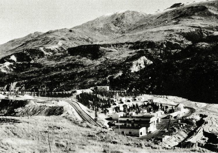
Suntrana is an unincorporated community in eastern Denali Borough, Alaska, United States.
Map of Suntrana, AK 99743, USA
It lies along the George Parks Highway south of the city of Anderson, and on the northeastern edge of Denali National Park and Preserve. Its elevation is 1,463 feet (446 m). Located along the right bank of the Healy River, Suntrana lies 3½ miles (5½ km) east of Healy, the county seat of the Denali Borough. The population was 61 at the 1930 census.
The town and mine at Suntrana no longer exist, the site of company housing is now reforested, no remains of the mine, power house or old tipple complex remains.
References
Suntrana, Alaska Wikipedia(Text) CC BY-SA